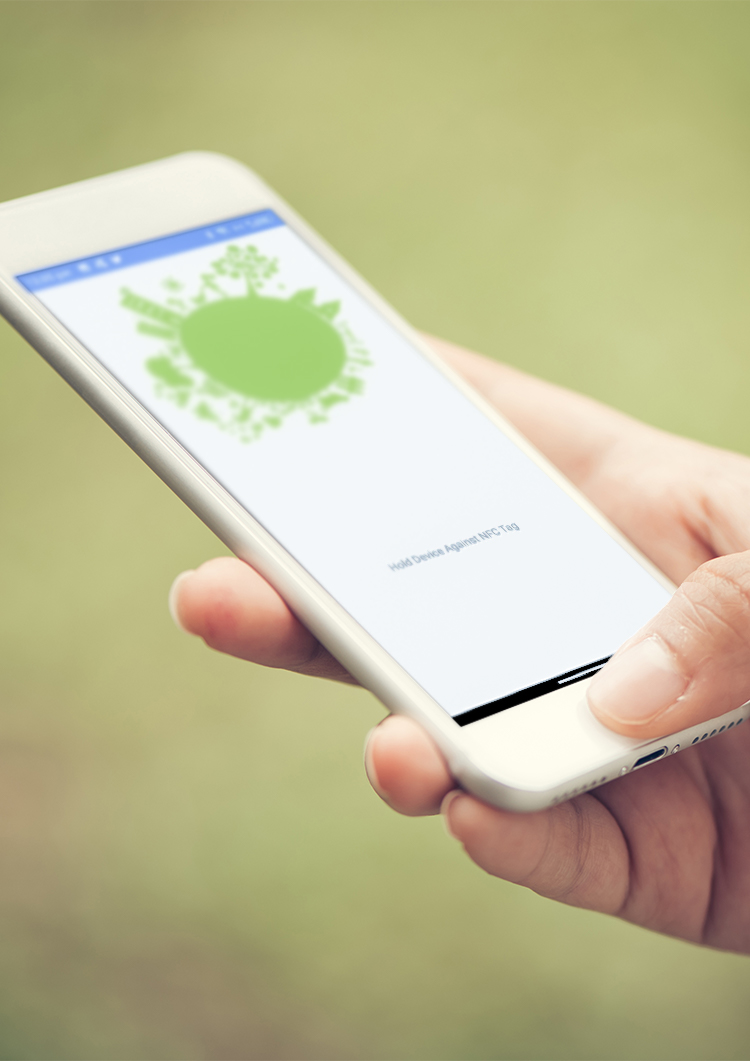
Our cutting-edge NFC tagging system and bespoke survey software work together to provide a comprehensive system for managing your tree stock.
NFC Tree Tagging
NFC stands for Near Field Communication, a technology which provides a wireless connection between one device and another within a 4cm radius.
Our NFC tags can be attached to your tree stock in place of traditional plastic or alloy tags. Our surveying software then uploads tree details and GPS coordinates from our tree survey onto the tag, essentially giving the tree a digital record of its own information and history. The client can then use our bespoke Android app to read the NFC tags and display the stored data from the tag in a simple table.
Our 28mm diameter NFC Tags are manufactured by ZipNFC. They are covered in Epoxy plastic and are tough and waterproof while still being extremely light and thin. They can be hung over small twigs or preferably stapled to the tree above head height to dissuade vandalism.
To facilitate live maintenance and editing of tree data, the production of tree works schedules and various other aspects of tree management, we can also supply the EnviroArbSolutions Ltd proprietary survey software as part of any contractual survey package.
Survey Software
The EnviroArb-Solutions Ltd survey software functions as a comprehensive tool for the management of tree stock. It is compatible with Windows tablets and computers and can be used both in the field and in the office to review, edit and publish tree information.
Through a simple interface, software users can plot trees, tree groups and other features onto shapefile site maps, with measurement and triangulation tools to ensure accurate tree placement. These plotted records contain comprehensive data on each tree’s dimensions and characteristics and are individually georeferenced (allowing for integration into other mapping systems if required).
Once plotted, tree records are displayed visually on the site map, including a crown visualisation and a label showing their unique ‘tree number’. The records can then be accessed and updated as required, with a ‘Find Tree’ function making it easy to find trees by searching their unique number.
Using our companion Android app, updated tree data can be easily uploaded to our cutting-edge NFC tree tags. By tethering a tablet device running the survey software to an Android phone which has NFC technology incorporated and running the Android app, the tablet software will be able to pass tree details to the app, which will then be able to store a portion of the data on the NFC tag. The Android app will also be able to pass GPS coordinates back from the phone to the software to aid in the accurate locating of tree records.
To assist with producing tree works schedules or otherwise reviewing or reporting on tree stock, our plan-making function allows users to produce detailed site plans that clearly show the locations of trees and their unique references. These plans can be exported individually or published into a full report, containing formatted tree data tables that include information on which plan or plans include each tree.
Tree data can also be published in either comma-delimited (CSV) or shapefile format, allowing for overall review and processing of data or integration into other GIS mapping systems
Get In Touch
Compton Road, co4 0bq
Colchester, Essex
07734 715337
paul.allen@enviroarb-solutions.co.uk